Land Surveying
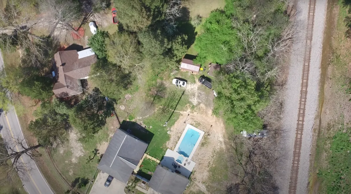
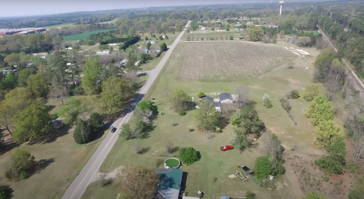
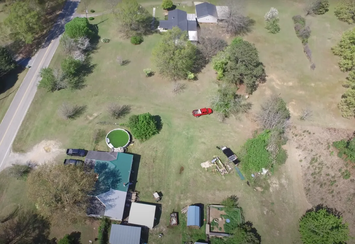
Our land surveying service at AIRBURST takes your property assessment to new heights. Utilizing drone technology, our expert surveyors in Macon provide precise measurements and high-definition aerial imagery for a comprehensive view of your land. From the sprawling fields of Warner Robins to the diverse landscapes of Fort Valley, we ensure every contour and feature is accurately mapped, delivering essential data for construction, agriculture, and real estate planning.
Land Mapping
In the realm of land mapping, AIRBURST's drones are revolutionizing the way we view and analyze terrain. Serving the Macon area and its surroundings, our detailed drone mapping gives you a bird's-eye view of your property, assisting in everything from boundary disputes to land development. With state-of-the-art drones, we turn complex landscapes into clear, easy-to-understand maps, making it simpler for you to plan and execute your land-related projects with confidence.
FAQS
What steps should I follow if my drone is malfunctioning or damaged?
If you're facing issues with your drone, refrain from operating it to prevent further damage. Contact our drone repair team with a description of the issue, and we'll guide you through the process of assessment and repair.
Can I purchase drones and equipment directly from your service?
Yes, we offer a curated selection of drones and accessories for sale. Whether you're a hobbyist or a professional, we have the equipment to meet your needs.
How long does a typical drone repair take?
Repair times can vary depending on the extent of the damage and parts availability. We strive to complete most repairs within a few days and offer expedited services when possible.
Get in Contact:
(478) 972-6104
100 Piney Grove Rd Kathleen, GA 31047-2630
Copyright 2024 AIR BURST Drone Service & Sales
All Rights Reserved
