
DroneWays Australia
Our Mission & Story
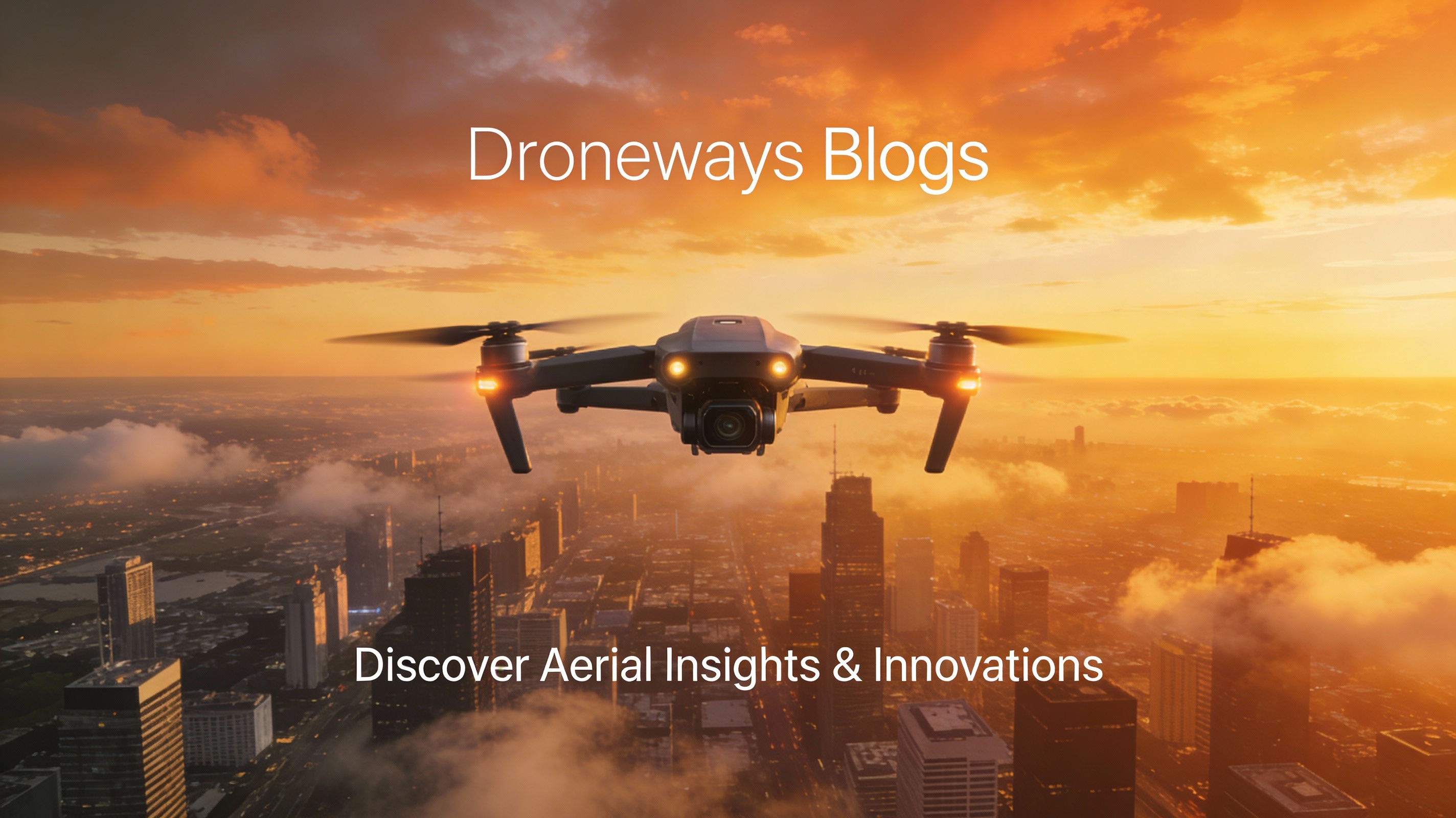
Redefining how businesses see
the world from above.
Meet The CEO
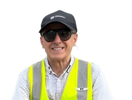
Francesco Gaviano
Francesco, Chief Pilot and Licenced Drone Operator, is a former Italian pilot and owns a successful media production agency based in Townsville, QLD.
His passion for flying airplanes and filmmaking have led him to develop a strong interest in drone footage.
Francesco has got over twenty years of experience in the film industry, including recent international projects.
He provides his drone services all over the Queensland, always utilising cutting edge technologies.
At DroneWays, we believe innovation starts with perspective. What began as a small vision to make aerial technology accessible and reliable has grown into a trusted partner for construction firms, engineers, and land developers across the region.
We combine certified expertise, cutting-edge drones, and intelligent software to deliver accurate data, clear visuals, and real results. Every flight, every image, and every report we deliver is driven by one goal to help you make smarter, faster, and safer decisions.
Our Mission
Excellence
Our services, and products are continuously improving. Before delivering any service, we make sure that it is valid and caters to the needs of our clients. We apply rigorous testing and standards to all our services.
Empowerment of our people
We are committed to developing long-term relationships with our people. We don’t believe in the “quick fix” system. Instead, we offer our services to the clients to the point of their satisfaction. Besides, we empower our employees and motivate them to stay with us while providing good results by polishing their skill
Meet Our Dedicated And Capable Team
Francesco Gaviano

Chief Pilot
Leandro Nunez
Geodetic Engineer
CERTIFICATIONS
CERTIFICATIONS
CERTIFICATIONS
CERTIFICATIONS
Why Choose DroneWays
More Than Drone Shots We Deliver
Insights That Drive Progress.
Here’s what makes us different from just another drone service provider:

Certified Expertise
Our pilots are licensed professionals with deep experience in aerial mapping, surveying, and data management.

Precision Technology
We use the latest drone systems and sensors to ensure centimeter-level accuracy in every project.
End-to-End Solutions
From flight planning to data analysis, DroneWays manages the full process — so you can focus on your goals.

Transparent Reporting
Get clear visuals, measurable data, and easy-to-read analytics you can trust for real decisions.
Our success is measured by how clearly you see yours.
Why partner with DroneWays?
Choosing Drone Ways means choosing reliability, expertise, and quality.
Certified & insured drone pilots
Professional-grade equipment
Transparent safety procedures
Fast turnaround on reports & deliverables
Customizable data outputs
Competitive pricing
Dependable customer support
Ready to Start Your Project?
Whether you’re planning an inspection, survey, or specialized operation, Drone Ways is ready to help.
At DroneWays, we deliver precision, innovation, and data-driven drone solutions — from mapping and surveying to 3D modelling and aerial inspections.
Our Services
Drone Mapping
Aerial Surveying
3D Modelling
Data Analytics
Consultation